There are many ways in which SWTRF members navigate the green lanes in the South Wales Region and further afield. These range from simple paper OS maps (old School!) to dedicated Satellite Navigation devices. There is no right or wrong way to plot and navigate a route. Most members will have started using one method and by talking to others will find a new and better way to do it. Most importantly is the need to be sure the route you intend to ride contains only legal lanes. This is the sole responsibilty of the rider.
The definitive map
The definitive map is a map held by each council that shows all the rights of way. It is complimented by the definitive statement which describes in words the right of way. These are legal documents. Some South Wales councils/authorities have online versions of the map. UCR’s (Unclassified County Roads) which can also be green roads are the responsibility of a councils Highways department. The Highways department maintains what is called a List of Streets, again this is a legal document . An online version of this is available at www.findmystreet.co.uk
Example: Cardiff City Definitive Map Online resource
However visting the council offices every time you are planning a route is not very practical also in the South Wales area alone there are 12 different councils covering the area! The good news is that there are other ways to make sure your on the right track. SWTRF have a dedicated Rights Of Road Officer who can help with any routes your not sure about. This is another great benefit of joining the group.
Resources other than the definitive map
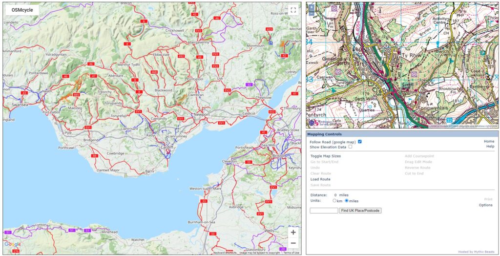
There are a number of online tools that can also be used to identify green lanes. One is already described on this website – The TRF GRM (Green Road Map). There is also another online resource called TW2 (Trailwise 2) which is run by the Green Lane Association (GLASS)
Planning a route
Once you have identified a collection of green lanes you will then need to piece them together to form a route.

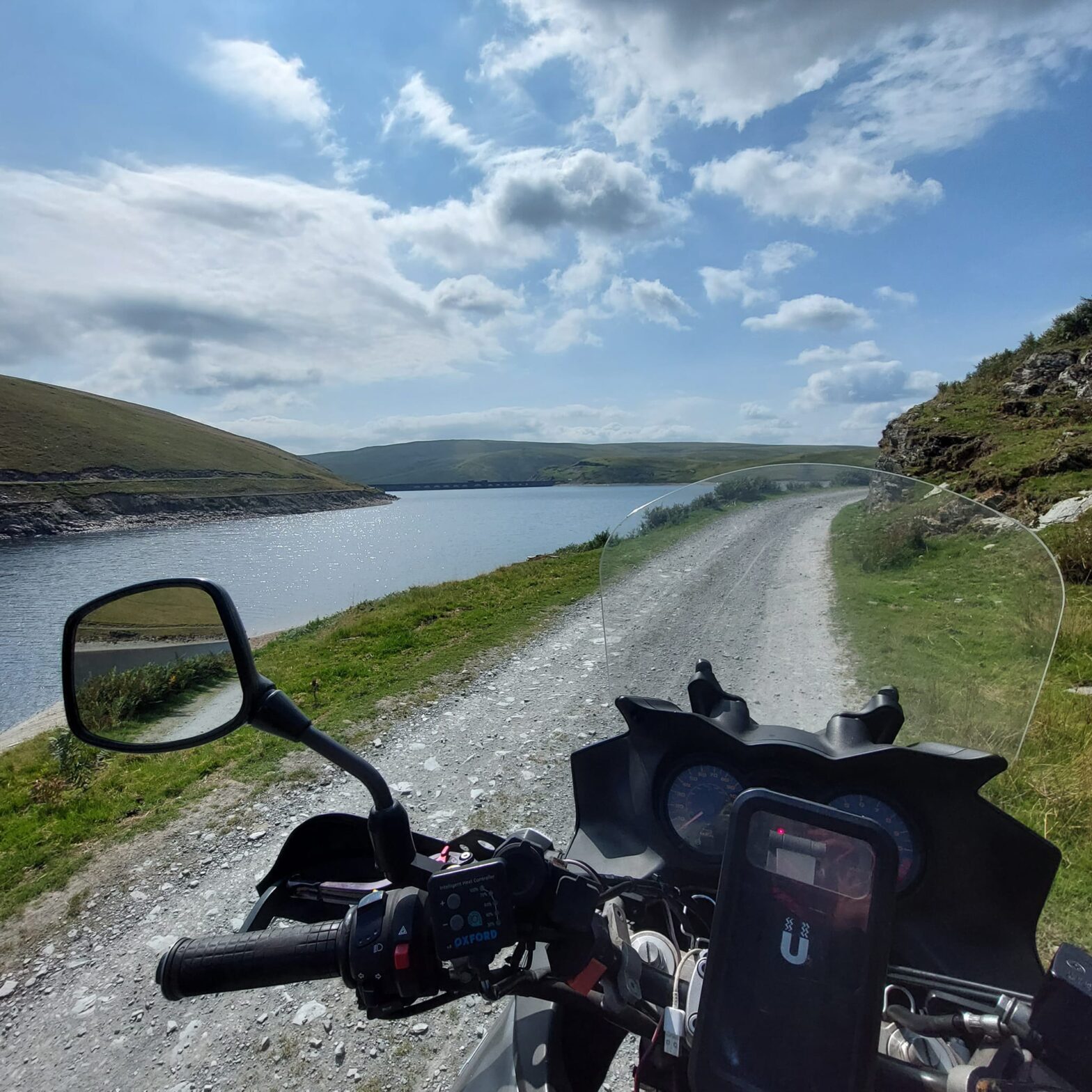
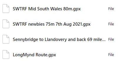
There are a number of ways to create a route like the one shown above. The general way would be to create a .gpx file of the route which can then be uploaded to your navigation device. One method would be to use a free online tool called Bikehike.
This is not affiliated to the TRF but a number of the SWTRF members use this to create routes in .gpx format. A link to the website can be found here.
There is also a short instruction sheet that can be downloaded here – It does not show all the functions but should get you started – Download Here!
Once you have created a .gpx file of your route you then need to upload this to your navigation device which is mounted to your bike. Again there are a number of different devices ranging from Garmin devices to old Apple/Android Smartphones or tablets. Whichever method you use, it needs to be mounted securely to your bike. The terrain that you will be covering is in some places very rough, so a device that can withstand shocks/vibration and the occasional knock would be good. Also once mounted securely you also need to ensure that the device can be powered. Most take a power feed from the bike battery to keep the device charged and running whilst you’re out.
One advantage of joining the SWTRF Group is that there is a dedicated Facebook group with many .gpx files already uploaded that members can access and use. All that would be required is to check and make sure there are no current TROs (Traffic Restriction Orders) on the route that you’re planning on riding. Cross reference to the GRM is an easy way to do this.
Useful Navigation App’s
We have listed below some of the more common apps that members of the SWTRF use for the navigation of routes. We are not affiliated with any of these and they are just a guide to help you find one that you like using. Most have both Android and iOS versions which you can run on old Smartphones. There are lots of resources online for the setup of devices etc. Also please speak to the SWTRF members many of whom have already gone through the process of choosing a device and app to use which they would be happy to share.
- Memory Map
- Outdoor Active (formerly ViewRanger)
- OsmAnd
- Locus Map
- Komoot
- Garmin Basecamp – more of a routing tool which you use to upload the route to a Garmin navigation device