A living breathing map of Green Roads in England and Wales for the public to explore, enjoy and contribute to.
There are an estimated 350,000 miles of highway in England and Wales. Roughly 40% is path or restricted byway and off-limits to motor traffic, and the rest of the highways are nearly all made up with tarmac – black roads
Between the black roads and paths are around 6000 miles of Green Roads that are available for the public to enjoy by responsible and reasonable means of travel, including motorcycling.
The objectives of the Green Road Map are to:
- Provide a resource to find Green Roads that can be lawfully and sustainably used by responsible Trail Riders.
- Facilitate the gathering and archiving of evidence to promote the public interest by protecting the publics’ entitlement to enjoy Green Roads.
- Maintain and reinforce the reputation and status of Green Roads as public roads for to travel on by any reasonable, lawful, and sustainable means, including motorcycling.
- Reduce the likelihood of unlawful or unsustainable use by actively excluding Green Roads that are subject of significant uncertainty as to status and/or that cannot be sustainably used by responsible trail riders.
Lets take a look at the Welsh Green Roads.

As you can see from an extract from the National TRF Green Road Map there are many green roads across the whole of wales.

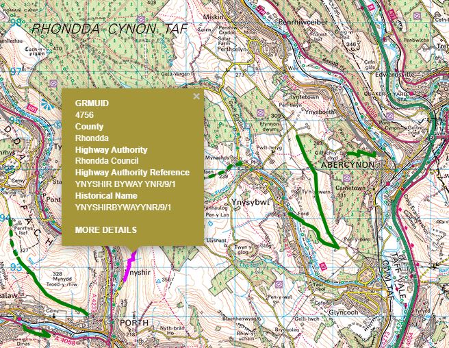
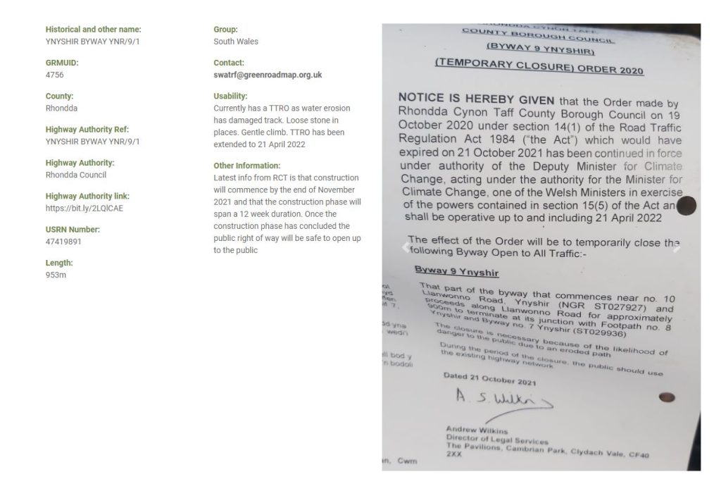
The Green Road Map doesn’t only show the roads available but also information about their condition or status. The example below shows an lane with a current TRO (Traffic Restriction Order).